After finishing Dhodap, we spent some minutes in Hatti
village with a very hospitable old man who had a small shop. He offered us tea
and told us about the origins of his people. After Rana Pratap’s defeat, many
of his men got scattered all over India. One group came to Nasik region and
settled in the area around Dhodap. When we left Hatti toward Babapur (our next
destination village), we often stopped to ask directions and noticed the
different features of the people in the villages.
From Babapur we had to make our way to the pass between
Markandya and Rawlya-Jawlya. At this pass there is a tiny temple with a
resident ‘baba’ who charges 100 bucks to oversee parked vehicles. From this
point one has choice of going either of the two mountains. We decided to tackle
Markandya first as the route was shorter and there was shelter at the top.
Since this a regular pilgrimage place, the route is well
marked. Villagers are trying to make steps and at places have put up railings.
It was all a work in progress as some construction material was strewn around.
Luckily once we reached the upper plateau, there was only a small path and
there seemed to be hardly anyone on top. There is a ‘mutth’ on the plateau where another ‘baba’
resides. It is a comfortable place to stay though the villagers are a little
less hospitable; they only relented after ‘baba’ permitted us to stay. The
plateau is huge and the top is quite a steep climb up. Since we did not have
time, a couple of us went half-way up to a small Shiva temple. The actual
temple of sage Markendeya is quite further up and was hidden in clouds.
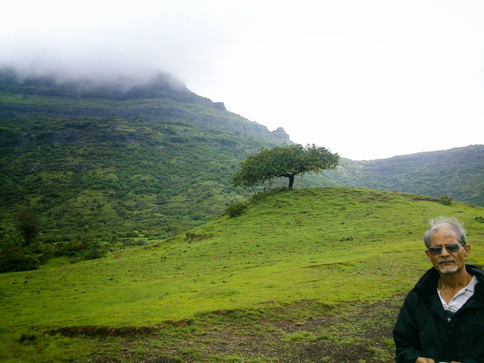
Next morning we got up shivering with the sound of heavy
rain on the tin roof. Luckily in some time, the rain receded and we set out in
the mist. It took us barely 30-40 minutes to get down and by that time, the
weather had changed. The sun was coming out....
 |
| Rawlya fort seen from Markandya plateau |
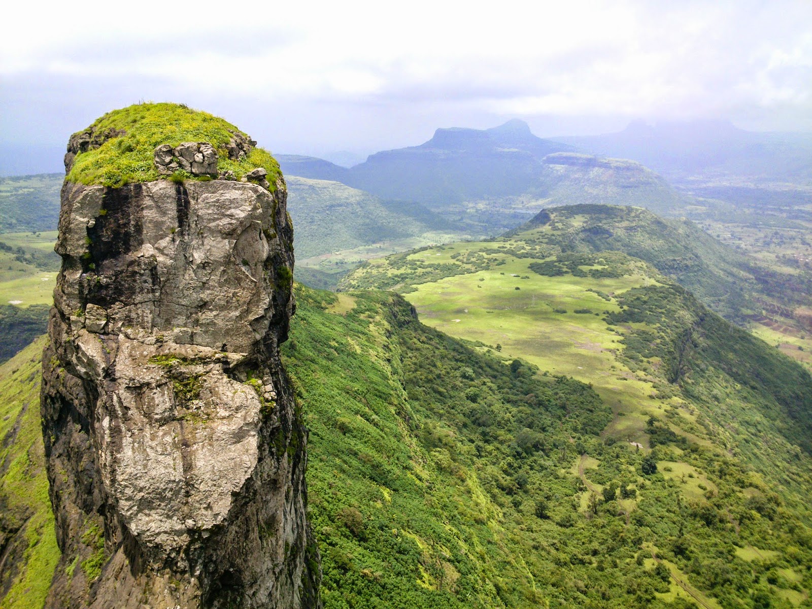
At around 8.30 after keeping our heavy bags inside our car,
we set out with necessities to go to Jawlya fort. A steep climb takes on to the
vast plateau of Rawlya-Jawlya. Once on the grassy top, views of the countryside
including Markandya are fantastic. We had no guide but a cowherd on the way
gave us directions. The plateau of Rawlya-Jawlya is quite big and uninhabited
save for one tiny settlement that lies between the two peaks. We saw no people
but lots of cows and buffaloes, grazing their way to glory. And shitting a lot
too! Soon our trails got lost and we had to walk through sticky mud trying to
avoid cow-dung generously littered on the way! The cowherd had told us to go
towards the right so we tried to follow that direction. But the mist was
closing in and visibility turned low. Luckily we kept on moving to the right
near the base of Rawlya and soon found a clearly marked, albeit muddy path.
This path goes on the side of Rawlya until finally the hamlet comes into view.
The hamlet was basically just two huts. The villagers make
‘khava’ from the milk which is used in Indian sweets. We dragged our feet
through muck to reach the huts where we asked for a guide but no one wanted to
come. With no choice but to proceed without a guide we asked for directions and
moved towards Jawlya which was half-hidden in clouds. There were clear trails
but as we moved on, they became faint and we were not clear where we would
start ascending.
Fortunately we met a villager who had brought his cows up to
graze. After a little cajoling he agreed to take us to the fort. With a sickle
he began cutting undergrowth and started on an ascent that was steep and
obviously muddy (a feature of this place!). A path soon became visible but we
would never have found it easily by ourselves. A short steep ascent led us to a
small clearing in front of the rock face. Again, we would not have guessed one
has to climb here. It was a thrilling rock climb, slightly exposed but no rope
was needed. We eventually reached crumbling steps and remnants of a doorway.
The doorway almost opens upwards like a hatch would; on top
is a grassy expanse with almost no remnants of fortification. We walked on the
small top towards to a set of tanks. It was beautiful with lovely views all
around; in the distance we could make out our old friend Dhodap! One day maybe
I would do the original plan of a cross country hike from Dhodap and combine it with Rawlya – the other twin
fort needs a rope.
 |
| Water tanks on Jawlya Fort |
Coming back was easy and leisurely. We had done the trek in
good time; it was one o’clock and we had a long flat walk back. The rain had
stopped and so the mud was less squishy now! We walked back admiring the lovely
quiet plateau, now revealing itself and the views around as the mist had
completely lifted now. Soon we were back near our starting point; Markandya was
in sight with its temple on the summit – eye-catching orange in colour. Walking
back I was thankful to the rain gods for giving us views that would remain in
our memories for years. The weekend was almost over now but what a weekend it
was!
More pics at: https://picasaweb.google.com/115394767952469723630/DhodapJawlyaMarkandyaTrek
Directions: From Nasik, take the Bombay-Agra highway and
take a diversion for Vani. From this road, one takes a diversion for Babapur,
beyond which lies the pass for Markandya and/or Rawlya-Jawlya.